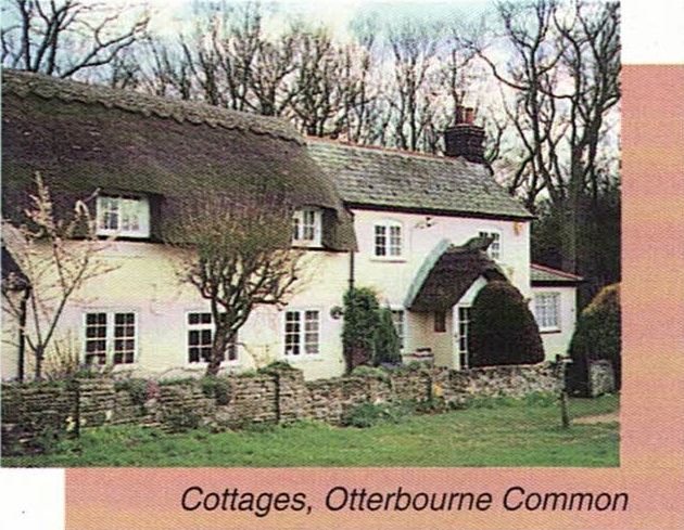
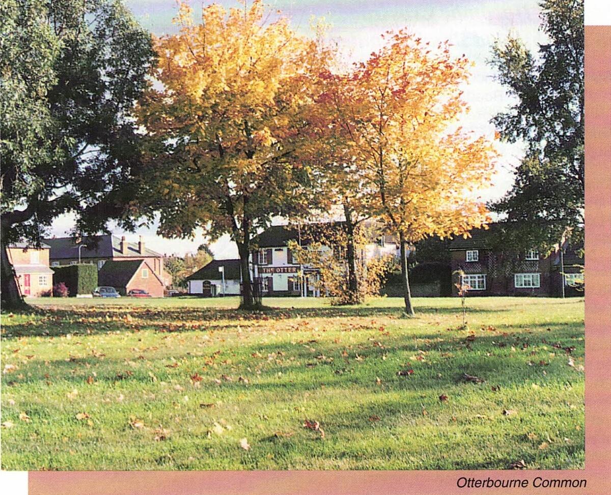
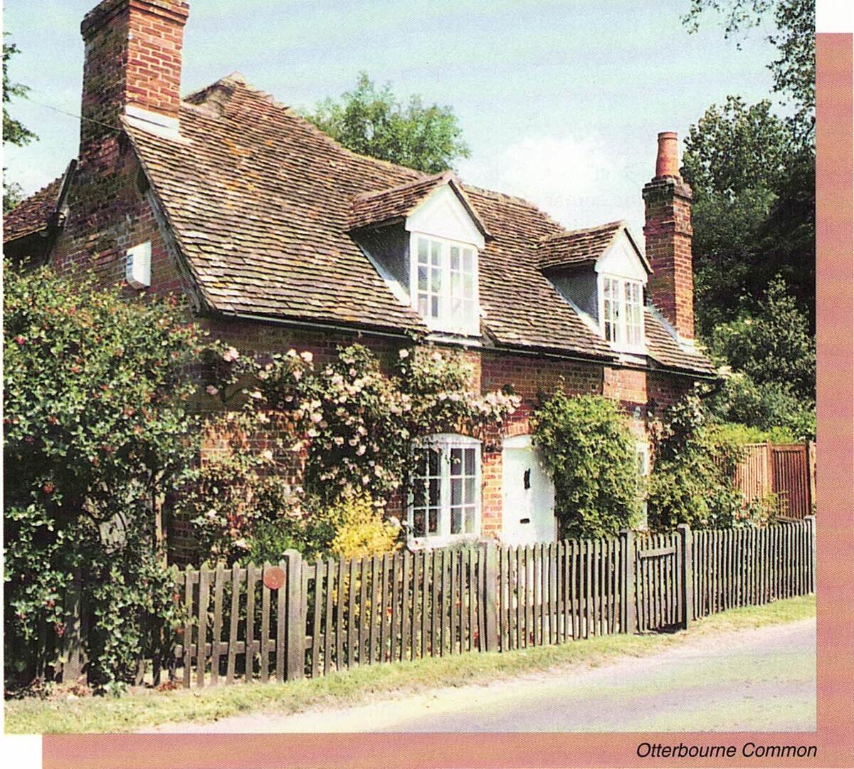
4 Otterbourne to Hocombe Crossroads
Keble Way Stage 4 Otterbourne to Hocombe Crossroads
1 3/4 miles
Starting Point: The Otter Public House, Otterbourne
Grid reference: 454223
Bus Route: 47
This stage takes the walker from Otterbourne to Hocombe crossroads mostly along paved footways.
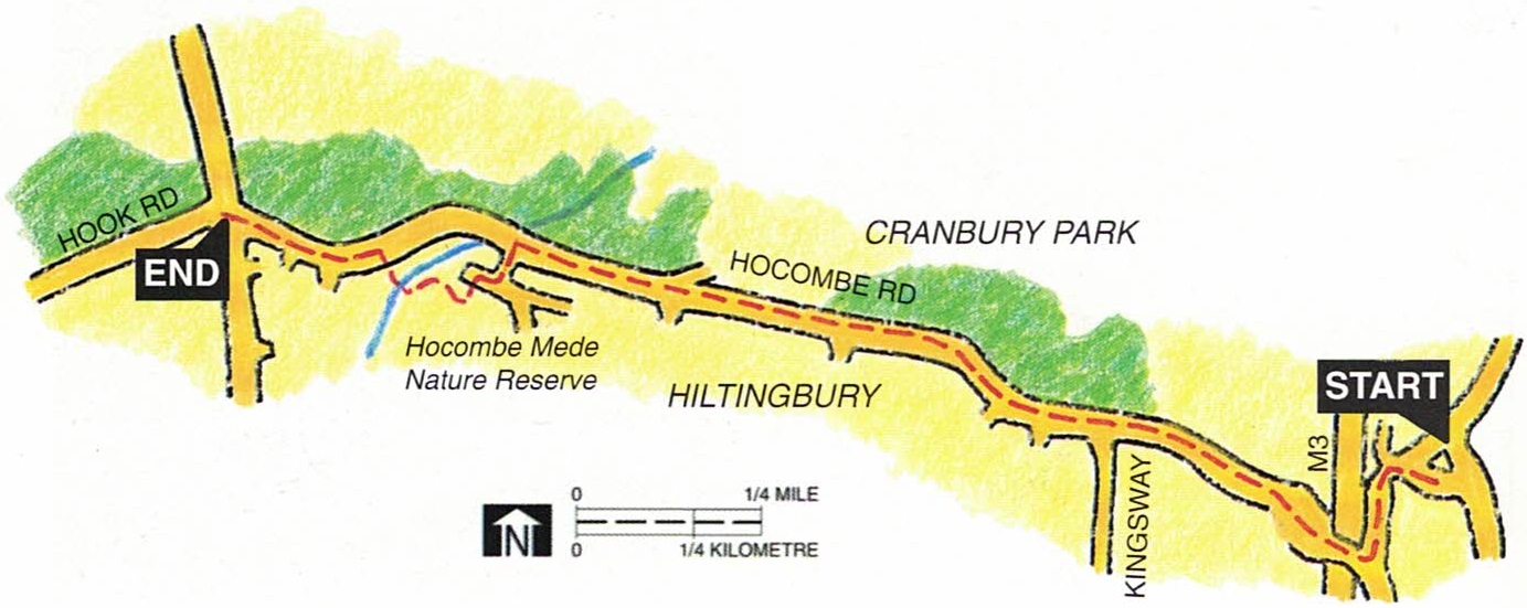
From The Otter public house go to the Winchester Road and turn left (south). Keep to the left and cross via the underpass. the roundabout then confronting you requires careful negotiation to arrive at the clearly signed Hocombe Road going west. keep to the left side of Hocombe Road on the footway in a well tree'd area. the extensive woods on the north side of the road are part of Cranbury Park.
This footway along Hocombe Road occupies most of this stage of the walk and it might be thought that because it represents the suburban fringe it should be excluded from a 'countryside' walk. Remembering the walk's other attribute, however, 'heritage', Hocombe Road offers an opportunity to reflect on the changing fashion in 'large, individual architect designed homes'. Along its length can be found examples from each of the last six decades, even to the current one. It is a fascinating exercise to place each succeeding example in its appropriate decade.
Whilst wandering along, past the openings to Kingsway (which local legend has it follows the route travelled by the body of King William Rufus, from the New Forest, where he was killed, to Winchester). Marlborough Road, Coultas Road, Lakewood Road and Nichol Road. Keep to Hocombe Road all the way until we reach Ashdown Drive, we might reflect also on the changing fortunes of beech, laurel, rhododendron, leylandii, holly, honeysuckle, privet, yew and hebe in the popularity stakes for use as hedging. There are examples of all of these in Hocombe Road, perhaps the hedge is a clue to the date of the house.
After walking almost the length of Hocombe Road, turn left into Ashdown Drive for 100 yards then right into the cul-de-sac that is Ashdown Mead and the entrance to Hocombe Mead can be seen on the left. Enter the Mead and turn immediately right. Follow the path to the left along a stream and cross to the right over a railway sleeper bridge and go straight up the field between the houses and out over a stile into Hocombe Road. Turn left and walk uphill to the crossroads with Hursley Road and Hook Road, where this stage ends.

Temp

Temp

Temp
